Tuesday, August 25, 2015

The Lost Nation Loop 9:30 am

Thursday, August 27th, 2015

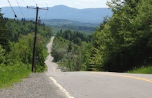
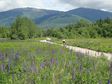
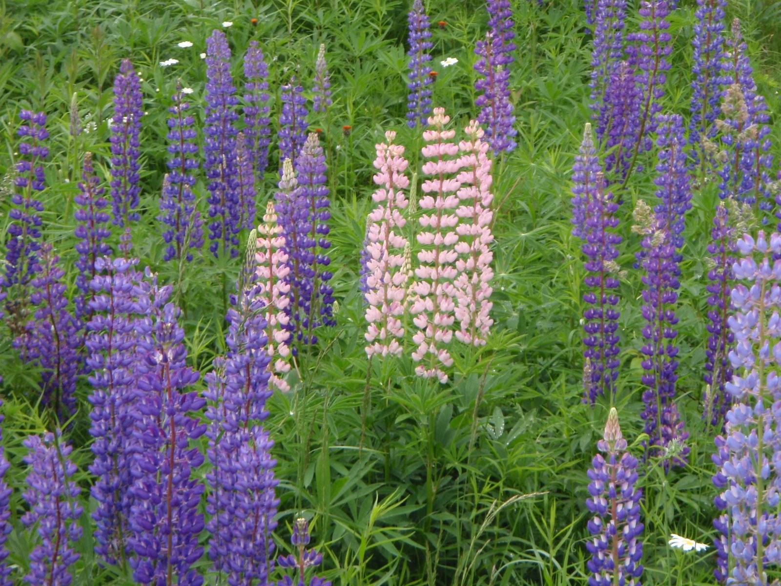
Thursday looks like a great for a ride day, sunshine, and a tailwind, for sure. So I would love to do one of my favorite rides for spectacular scenery! 

Farms, fields, horses, cows, mountain views, covered bridges, rivers, streams, villages, little white churches, closed papermills, etc. This ride has everything the region can offer! I wonder if any of the roads on this ride have been recently paved?? 


The full loop is 50 miles, but a really nice 30 mile option is possible out of Lancaster.  Bring a lunch to eat at the covered bridge in Groveton.


The Lost Nation Loop starts in Whitefield at the town green with the gazebo in the center. (This was our lunch stop last week.) We ride east towards Jefferson on route 116, then North Road through Grange and Lost Nation to Groveton. We then ride about 2.5 miles down Route 3 (wide shoulder) to Northumberland and cross the CT River into Guildhall, VT. We ride the VT side of the CT River on Route 102 then cross the Mt. Orne Covered Bridge just south of Lancaster. We ride almost to Dalton along the NH side of the CT River and then take route 142 back to Whitefield.

Start time: 9:30 amready to ride

Carpooling: If you want to carpool, meet at the Attitash parking lot at 8:20 am

Directions to Whitefield: Route 302 through Crawford Notch to the light at Twin Mountain four corners. Take a right onto Route 3 and follow Route 3 to the center of Whitefield, a tiny town green with a gazebo.

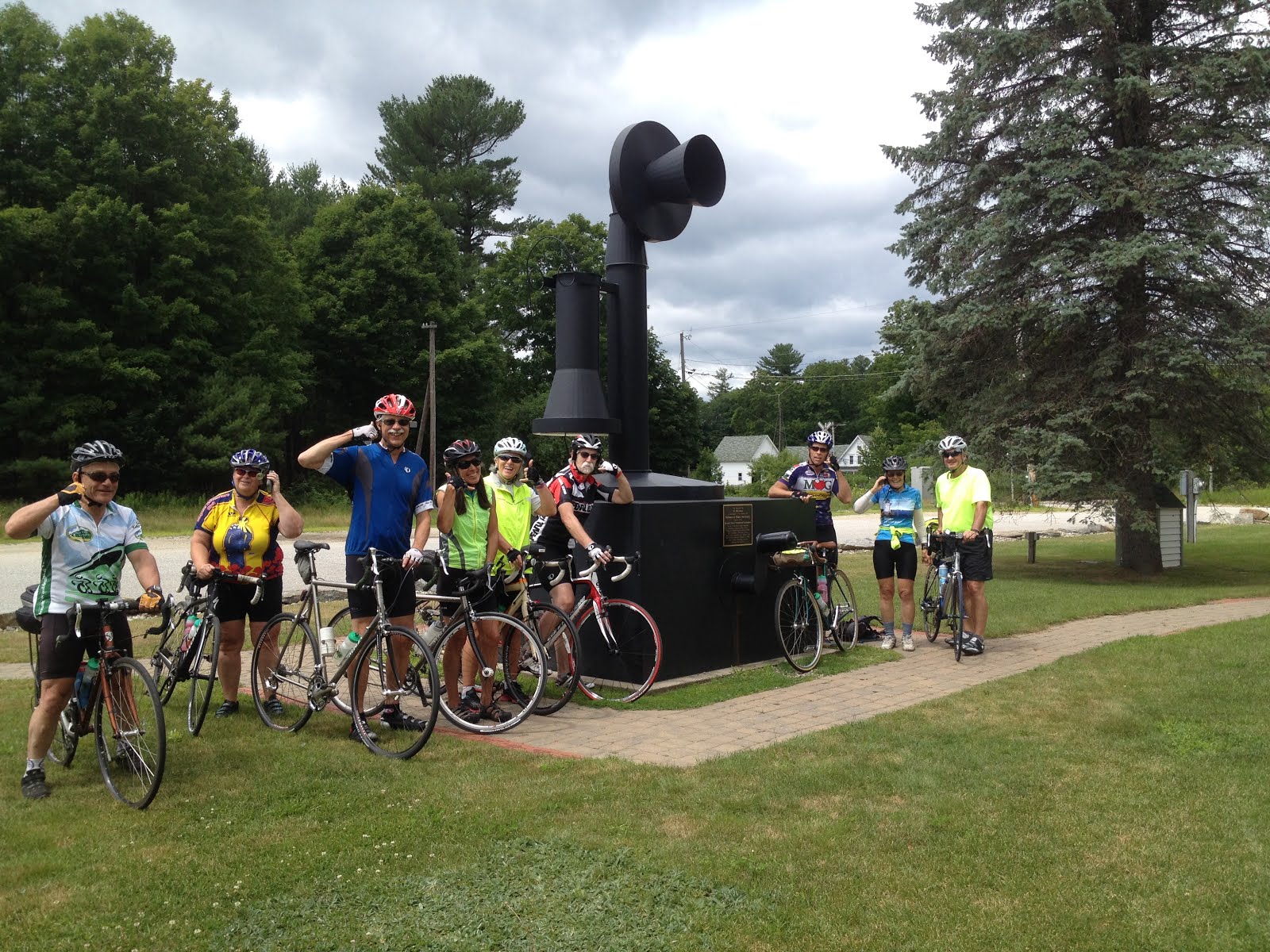
Parking in Whitefield: There is parking around the town green in the center of Whitefield (intersection of Routes 3, 116, 142). 

Ride Distance: 50 miles, majority of the climbing happens early in the ride, when we are still fresh.

Shorter Option:  30 miles  A shorter, easier loop can be done out of Lancaster, parking at the Shaw's Supermarket. If you want to do this version, meet at the Whitefield Gazebo with everyone else at 9:30, get the plan, then drive up to Lancaster. You will meet the 50 mile riders at the dairy farm at the corner of Lost Nation Road. You will have cut out the longest and steepest climbs. 

History ?: Lost Nation seems to always be associated with The Republic of Indian Stream, (perhaps because of the book written about this interesting region of NH?). The place called Lost Nation, where we will ride (don't blink or you may miss it...), is not geographically contained within the former Republic of Indian Stream (closer to Pittsburg)


Map:  http://www.mapmyride.com/us/deerfield-nh/lost-nation-loop-route-1539328

Tuesday, August 18, 2015

Bretton Woods to Whitefield via Wing Road

Thursday, August 20th, 2015

We start at the Bretton Woods Ski Area, parking in the lot near the entrance across from the fitness center. Then head west on Route 302 straight through the lights at Twin Mountain to River Road and Wing Road (along the Ammonoosuc River) to Route 116 (a good climb or 2) to Whitefield. We can eat lunch and/or ice cream at the gazebo on the town green in Whitefield, then head out a mile on route 116 to Hazen Road. Hazen Road takes us to the small airport and wood chip power plant that goes past the entrance to the Pondicherry Wildlife Refuge. There is a climb here up to Route 115 and the scenic vista, then downhill back to Route 3 and Route 302.

Total Loop from Bretton Woods parking lot: 37 miles.

Shorter, but still a loop - start at Zealand winter parking lot on the north side of route 302 for 29 miles. Look for riders passing by at about 9:30. Or park at the visitor center/tourist info gazebo at the Twin Mountain 4 corners where routes 302 and 3 cross at the light.  This will make a 25 miler. 

Let's meet at 9:00 am, ready to ride at the big parking lot across from the Bretton Woods Fitness center building. The fitness center is on your right just after you enter into the Bretton Woods Ski Area road.

Carpool? If you want to carpool, meet at Attitash in the parking lot across from the lifts at 8:10 am. 

I will back from Newfoundland in time to join in on this ride!!  Newfoundland is an amazing place to bike and hike!


Create Maps or search from 80 million at MapMyRide

Wednesday, August 12, 2015

The Basin 9:00 am

Thursday, August 13th, 2015

How about The Basin? Low traffic and if you drive there via Hurricane Mountain Road you will aviod the 302 road construction  Meet at the corner of South Chatham Road and Route 113 in North Fryeburg, alongside the park next to the Saco Valley Fire Station. As you already know, please do not block the fire station parking area. Park head-in alongside the park to allow for many cars to fit in, or park parallel, off the road, along South Chatham Road or Rt 113.

The last quarter mile up to The Basin is a dirt road. I did it about a month ago and it was in good shape. If the road is a wash out, or the sun is too hot, you may want to just use the campground at the entrance as the lunch spot. There is a shady spot with picnic tables, a porta-potty and a water pump in the campground. 

The starting time, ready-to-ride will be 9:00 am.


Doing the ride starting south on 113 with a left on Fish St and left on MacNeil, it will be a 28 mile ride. Stop at the Stow Store for snacks or ice cream!

Wednesday, August 5, 2015

Shelbourne to Evans Notch via North Road 9:00 am

Thursday, August 6, 2015


To make the ride a bit different, start in Shelbourne Village instead of the usual Hogan Road/North Road parking area near the dam. By starting in Shelbourne, you will cut out about 3 miles and 2 tough hills at the end of the ride. You add a mile of flat scenic farmland, the river, horses, and a donkey that will want to join in, not a bad exchange. 

The ride goes over RR tracks and the Androscoggin River as we ride about 1 mile to North Road, takes a right turn and then out about 5 miles to the iron bridge, crosses the river again and goes to Route 2. Take a right and ride a short distance on a wide shoulder on Route 2, then take the left onto the road up Evans Notch (Rt 113). 

Some will ride up to a small bridge for a nice, easy, gradual route upriver. After the small bridge, the steeper climb to the top begins. Some will climb to the top. Either way is a spectacular ride, and you can regroup down the river at the new bridge (where Irene took out the suspension bridge) for a snack on the sunny rocks. Return to the cars by reversing the route. 

Mileage: About 32 if you do the whole ride to the top of Evans Notch, about 28 if you go to the bridge just before the climb goes from gradual to steep. 

Shorter option?  Start at the iron bridge for a really nice 18 mile ride. 

Time:  Ready to ride at 9:00 am in Shelbourne Village. 
If you want to start at the iron bridge, look for riders coming across it at about 9:20-9:30. 

Meeting place and parking: Start from Shelbourne Village, just off Meadow Road (a left turn off of Route 2 about 5 miles east from the route 16/2 junction in Gorham). After turning left into Meadow from Route 2 take a quick right onto Village Road. Park across from the library or in the ballpark. Meadow Road joins North Road at that grassy triangle intersection close to the Philbrook Inn. 

If you want to carpool, meet in Jackson, in the parking lot across the street from the J-Town Deli at 8:10 am.