Wednesday, September 26, 2012

Fall colors in Jefferson Valley 10:00 am

Thursday, September 27, 2012

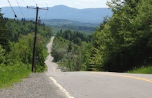
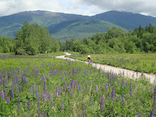
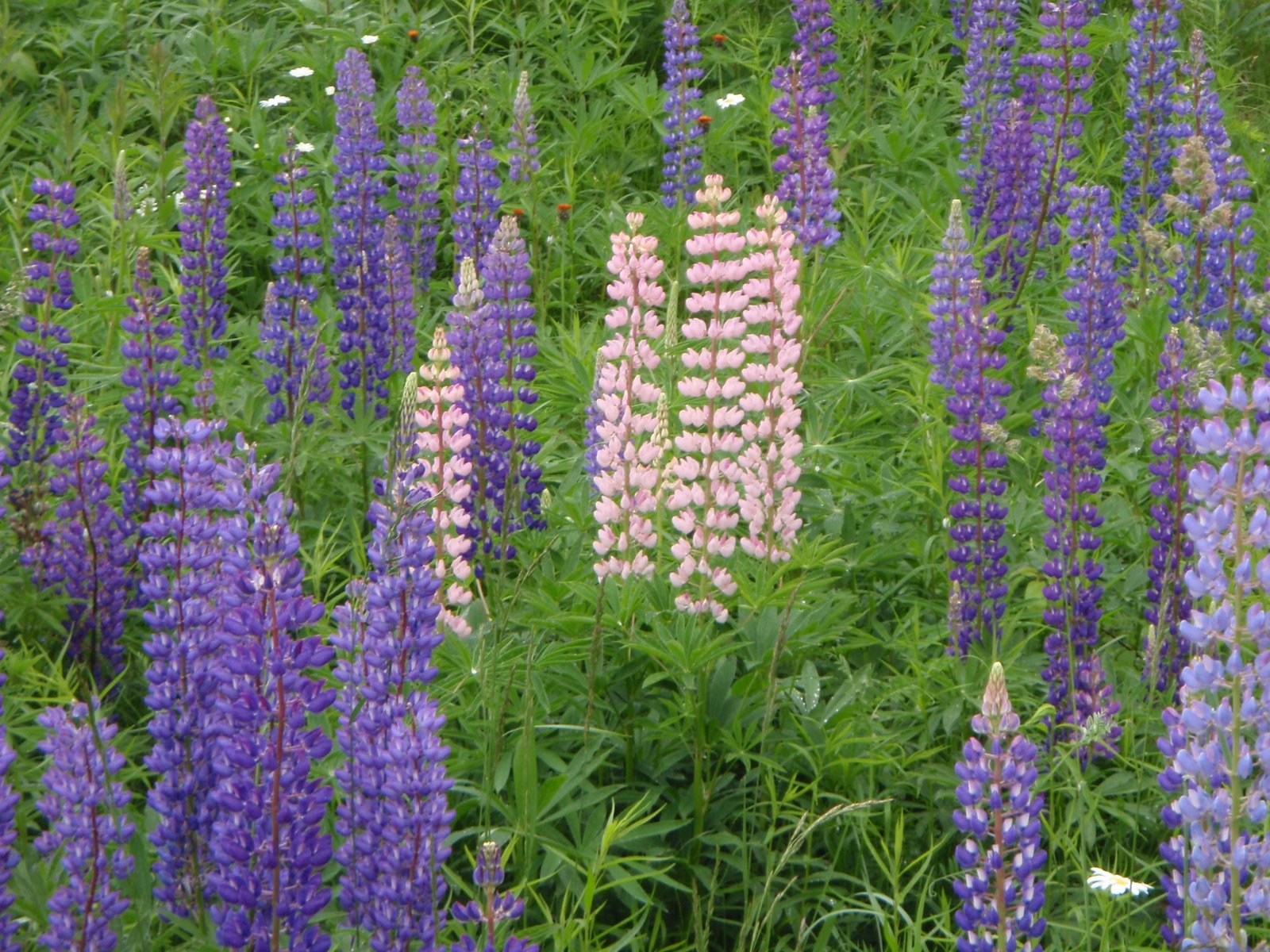
The colors are coming out, so now starts the series of bike rides that I think provide the best fall foliage panoramas. This is a fall version of The Lupine Ride, with great views of the Presidentials, Wambek and Cherry Mountain. It is an easier ride than most, lots of flat roads and no big climbing.  I am in CT this week and will not be on this ride, but I did the ride last Friday to check it out, and with the perfect weather forecast for Thursday, this should be a great ride! If you can't make it this Thursday, try to ride it at some point during the foliage season to enjoy the views!

I rode Valley Road and it was is MUCH better condition (as of Friday!!) than when we rode it in June. The loose stones have been ground into the road or tossed aside.  I wish for you the tailwind that that pushed me to 15 mph on the dirt without peddling the entire way, and I wish that the wind direction switches for your return route. Whipple Road (the dirt road leading from the dairy farm to route 116) was NOT in good shape for riding. It was very loose and stoney. 

Start time: 10:00 am ready to ride 

Bring lunch or snacks - no food or water available on this version of the ride. 

Meet at the parking lot on the west (Randolph) end of Pinkham B Road at the rail trail crossing. 

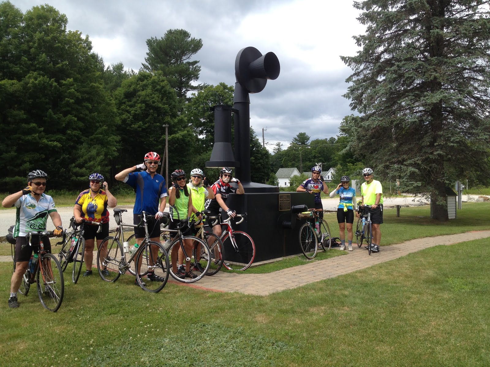
Carpool: Meet at the Jackson Ski Touring/Wentworth Golf Club parking area across the street from the J-Town Deli at 9:15 am.

Ride length: 28 miles, with a 22 mile option if you don't ride the route 115-115A triangle and just go to the campground on Valley Road. 

Route description: Cross Route 2 over to Durand Road. Ride it all the way up to the end of the dead end and walk the path up to Route 2. Ride about 2 miles and take a left onto Valley Road. Ride out Valley to Route 115. Take a left and ride up to the intersection with Cherry Mountain Road (on left) and Route 115A (on right). For something different and more views, take a LEFT onto Cherry Mountain Road. Ride out and back, soak up the views on the flat road, turn back where the road goes uphill. Return to Route 115, cross over it onto Route 115A and ride this out past the raircar home and cemeteries to the dairy farm in the Jefferson Valley. Since Whipple Road was not in good shape, ride to the right here and cross the Israel River, stop and enjoy the view. Reverse and return by Valley Road stopping at the campground for lunch. The store there is closed on Thursday, but you could use the picnic tables there, or eat by the pond next to the campground. Head back by Valley Road then choose either Route 2 or Durand Road for the smiling downhill back to Pinkham B. I wish I were there....

Directions to the start: The start is at the Randolph end of the Pinkham B Road. There is parking right next to where the Presidential Rail Trail crosses Pinkham B. Access Pinkham B road from the Dolly Copp Campground entrance off of Route 16. As you drive down the hill on Pinkham B and come out of the woods, where there are 2 houses on the left, the rail trail crosses the road at a public works department building. There is parking on the left side near the rail trail.

If you don't want to drive Pinkham B's dirt and "pavement", drive route 16 to Gorham, follow it left at the intersection towards Berlin and then take a left on Route 2 at the traffic light. Go up the big hill and down the other side. Just after the hill flattens, Pinkham B Road will be on your left. Take the left and drive about 0.5 mile to the parking area near the rail trail on the right.


For a map:
http://www.mapmyride.com/routes/view/18419892

Tuesday, September 18, 2012

Tour de Mt Washington, 10:00 am

Thursday, September 20th, 2012

I have been a tourist for the last 2 weeks enjoying great rides, interesting places and fun company. In returning home I want to continue the fun!!  So this Thursday's ride is a way to play tourist in our own backyard, enjoying the amazing sites that we have right here at home. Looks like the weather will be good, clear but chilly!

This ride is relatively short in mileage but big on scenery and attractions. It includes panoramic Presidential views, the Cog Railroad (if we decide to climb up to the station), Upper and Lower Ammonusuc Falls, the Mount Washington Hotel (we could go in and look around). We eat lunch or snacks on the rocks next to the Lower Ammonusuc Falls. If needed, food can be obtained at the general store near the Twin Mountain 4 corners.

Start at the Eisenhower Wayside Park which is on the right side of Route 302 a couple of miles after passing through Crawford Notch. We ride back up the notch to Mt Clinton Road. The road is probably not in much better shape than before, but is OK to ride if you take it easy and enjoy the
shady green tunnel. We could climb up to the Cog Railroad or just enjoy the downhill cruise, stopping to look at Upper Ammonusuc Falls. We then ride out to the Twin Mt 4 corners and stop to enjoy the Lower Ammonusuc Falls.

Start:  10:00 am at the Eisenhower Wayside Park

Total distance: 25 miles; with shorter options.

Carpool:  Attitash parking lot, far end, 9:15 am.

Here is a map:
http://www.mapmyride.com/routes/view/137821612

Wednesday, September 12, 2012

ThursdayBike on vacation this week

Thursday, September 13th

There will be a ThursdayBike Ride NEXT week!!

Tuesday, September 4, 2012

The Wonalancet Loop. 10:00 am


Thursday, September 6th

The weather looks good for The Wonalancet Loop! 
Bob Houlihan will host this ride!
This ride is a ThursdayBike Group favorite! It is very scenic, dripping with New England quaintness.

Distance: 30 miles

Meeting place: Parking lot at McDonald's and Tram Store (old Mt. Whitter ski tram station) located on the east side of the junction of Route 16 and route 25 in West Ossipee.
From Conway, drive south on route 16 to the traffic light at the 16/25 junction. Go straight at the light, then turn left into the parking lot for the McDonald's and Tram Store. Park on the right side of the lot, where we will not interfere with the McDonald's customer parking.

Meeting time: Ready to ride out of the Tram parking lot at 10:00 am. From Glen it is a 27 mile drive, from Conway Village it is a 16 mile drive.

Carpool: For the Glen/Jackson folks, carpool out of the Grants parking lot. Be there at 8:50 in order to leave the lot promply at 9:00 am. 


Terrain: Farms, fields, forests, mountain views, marshland, horses, churches, stone walls, riverside riding, etc, etc. Part of the ride will be on the road designated as The Chinook Trial (route 113A from Tamworth to Wonalancet). Chinook was a famous sled dog: www.theheartofnewengland.com/LifeInNewEngland-Chinook-Trail.html
Some flat riding at the start, a wonderful downhill at the end, which means, that in the middle there are a few short steep rolling hills and moderate hills that will burn some calories so that you can enjoy your lunch with ice cream at the...

Food Stop: The Other Store in Tamworth Village (at ~mile 24). Bring your own or get a nice lunch and/or ice cream here and eat at the picnic tables in the back of the store.

Here is the ride map:

http://www.mapmyride.com/routes/view/1539603