"Don't Yank the Krank"
Bethel to Bryant Pond, Maine
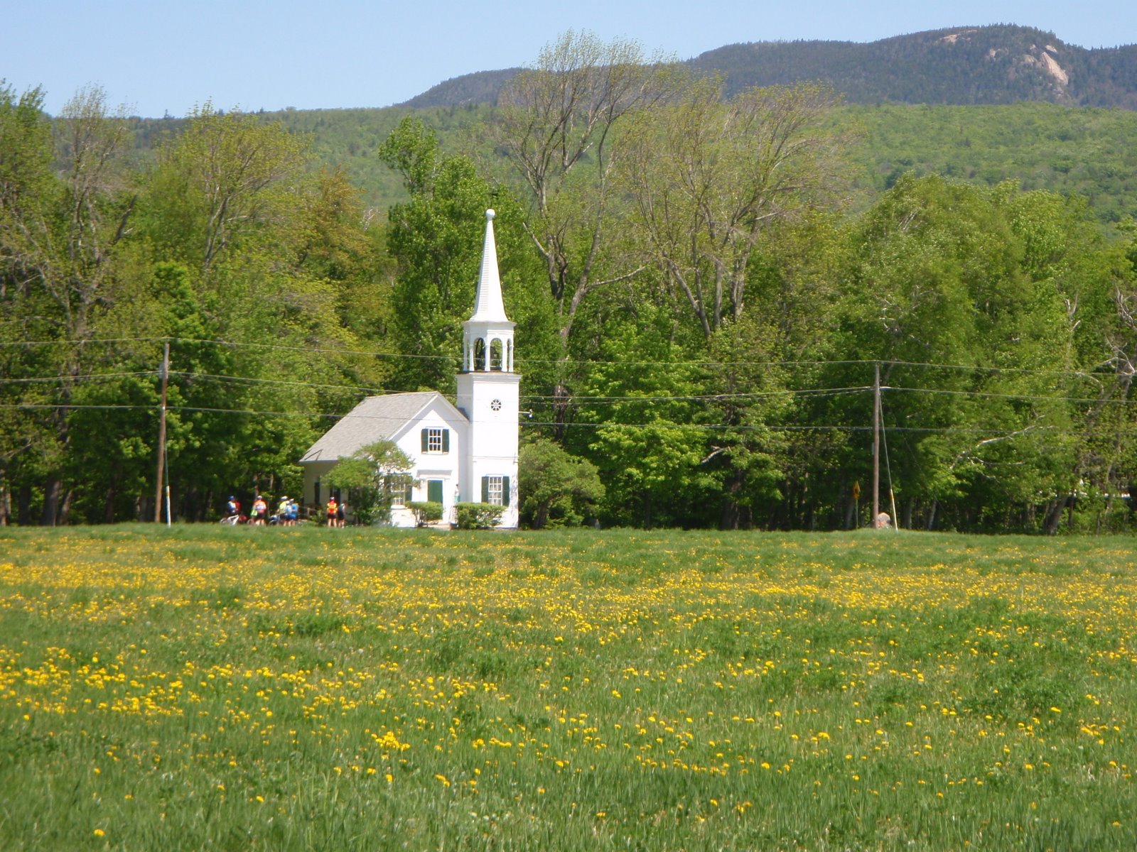
Looks like the weather will be great for a ride by the beautiful woods, farms and lakes of Maine!
This ride will take us from Bethel to Bryant Pond, the site of last hand-cranked telephone exchange in the USA. This little town is also famous for a 3-story outhouse. It also has a convenience store, a larger-than-life telephone monument and great lakeside dining.
But Wait... there's more!!!
The ride is nice and quiet, along the Androscoggin River (essentially a continuation of the North Road experience), fields, farms and forest plus shore side riding on North Lake in Locke Mills. No Notches! This will be a welcome relief from the traffic and noise around the Mt. Washington Valley in tourist season.
This ride starts out of the riverside park in Bethel -- the picnic destination on the North Road ride. The first 12 miles follows Intervale Road which parallels the Androscoggin River as it flows north towards Rumford. We turn east towards Bryant Pond, go through the village, try to find that famous outhouse, pay our respects at the Hand Crank Telephone Monument, then go to the lake for our picnic lunch. The return is by North Pond in Locke Mills, then by East Bethel Road (look for some interesting sculptures on the left), then back to the cars via Intervale Road.
The ride will start at 9:30 am at the Bethel town park on the Androscoggin River at the intersection of the bike path and Route 26 (where we always eat lunch on the North Road Ride).
Drive to Bethel via Route 2 and take a right on Bridge Street, at the flashing light (soon before crossing the bridge over the Androscoggin). Drive about 0.5 mile to the park, on the left at the stop sign.
Ride distance is 40 miles.
Ready to ride at 9:30 am!!
If you want carpool, meet at the Jackson Ski Touring/Wentworth Golf Club parking area across the street from the J-Town Deli at 8:15 am. Otherwise, see you in Bethel!
See map link at the bottom of this post...
Here is some info on Bryant Pond:
www.roadsideamerica.com/map/631
www.privateline.com/mt_telephonehistory/iv_the_telephone_evolves/07_part_g/
"Bryant Pond achieved some national fame and media attention beginning in the mid-1970s when its family-owned Bryant Pond Telephone Company became the last hand-crank telephone exchange in operation in the United States. When in 1981 the local company, operating from a two-position magneto switchboard in the living room of owners Barbara and Elden Hathaway, was purchased by the Oxford County Telephone & Telegraph Company, a nearby larger independent company. A movement called "Don't Yank The Crank" was organized by David Perham and Brad Hooper in a valiant but futile effort to keep their beloved crank phones. The effort was not ultimately successful, and the last "crank" calls took place on 11 October 1983, when a modern dial exchange was placed in service."
Tuesday, July 10, 2012

Wednesday, July 4, 2012
Kezar Lake Narrows 9:00 am
Thursday, July 5th 2012
Let's get away from the traffic in the valley and get off the busy roads. Let's try the Kezar Narrows Loop starting in North Fryeburg. If we get an early start we should have pleasant temperatures. Union Hill Road has some dirt and sand on it, but we can pick our way through it and walk if necessary. I hear that there are mosquitos out there in Maine, so be prepared. Mosquitos? Sand? Can it be worse than July 4th holiday week traffic jams and tourist drivers in their "Rent Me" motor homes?
Start the ride at the park next to the North Fryeburg Fire Station (as you know, park away from the fire station where the firefighters may need to park).
Ready to ride at 9:00 am.
The ride goes through the farm fields via Cornshop, Fish and McNeil, cross the Red Iron Bridge, up Union Hill Road, and over (bearing right at forks in the road) to the Kezar Lake Narrows. Just before the steel lattice bridge at the Narrows and before the snack shop at the Narrows is a narrow road leading to a shady narrow picnic area on the narrow part of the lake. Picnic tables and porta potties are there. Return is is by Christian Hill Road to Lovell and then a short ride on Route 5 to Shave Hill Road and back onto Harbor Road to the parking area. Be sure to stop and enjoy the views before dropping down into Lovell.
Total ride is 26 miles, relatively short but you get a few short hills to climb. We should be done before it gets too hot.
Tuesday, July 3, 2012
Bartlett 4th of July Parade
I just returned from CT and have not had time to put together a good ride for Thursday yet....stay tuned, I will post it tomorrow.
In the mean time, if you have never been to the Bartlett 4th of July Parade, it is worth a trip. What a hoot!! It drips with small town charm. Lots of fire trucks, old cars and "floats". Miss Mt Washinton Valleys in tiaras perched in convertibles. It starts at 11:00. This is a big deal --- they actually close route 302 for this event, causing a huge traffic jam of confused, surprised and cranky tourists (and locals). But the show must go on! Best way to see this spectacle is by bike. If you want some entertainment tomorrow morning, meet at the Attitash parking lot at 10:15 am, ready to ride, at the far end of the lot in the shade. We can ride over to Bartlett Village before 302 turns into a linear parking lot of annoyed drivers. We can see the festivities and parade, and get a bowl full of strawberry shortcake made by the church ladies, and then ride River Road until 302 relaxes. Maybe next year Thursdaybikers can enter the decorated bike contest.
Wednesday, June 27, 2012
Kanc to Rocky Gorge and Russell Colbath House, 9:30 start
Thursday, June 28th 2012
Forecasts look reasonable, with some talk about thunderstorms happening in the afternoon. One forecast shows some residual rain in the morning, but most forecasts show sun in the morning with pleasant temperatures.
Let's ride locally and hope for the best!
9:30 start, ready to ride at the Kennett Middle School Parking Lot in Conway Village. We will ride up the Kanc To Rocky Gorge (about 10 miles) and if the skies look good, continue up to the Russell Colbath House which is just past Bear Notch Road (about 14 miles from the start). Return via a downhill cruise on the Kanc and then that great ride down Passaconaway Road. Total of about 29 or 21 miles.
Saturday, June 16, 2012
Denmark and Hiram
***************************************************************************
Please note: Due to the forecasted very warm weather, we will start this ride at 8:30 Thursday morning. See you there!
***************************************************************************
Thursday, June 21st, 2012 Bill Ballou has offered to be the ride planner and host for this do this week's ride!! Bill will lead this new Thursday ride (34 miles) that will take us through the tranquil Denmark and Hiram, ME countryside on well paved and generally lightly travelled roads. We will proceed through Denmark, ME, around Hancock Pond and Sebago Pond, to the Hiram Country Store where we will loop back towards our starting point. This is a relatively easy ride and very scenic. We will have rolling hills much of the way and the few bigger climbs we will have are relatively short. We will start at the store located at the blinker light at 5 corners in Brownfield, ME (junction of routes 5/113 and Rt. 160). Please park to the far rear of the dirt lot and be ready to ride at 8:30. See you there. Start at the store at 5 Corners – Brownfield on Rt. 160 toward Denmark Take Lords Hill Road / Rocky Knoll Rd. loop back to Rt. 160 Pass through Denmark and take right onto Berry Road Continue onto Hancock Pond Road, Convene Rd. and Sebago Rd. to Hiram Store Return via Rt. 117 to Denmark and Rt. 160 back to car Total miles = 34
Please note: Due to the forecasted very warm weather, we will start this ride at 8:30 Thursday morning. See you there!
***************************************************************************
Thursday, June 21st, 2012 Bill Ballou has offered to be the ride planner and host for this do this week's ride!! Bill will lead this new Thursday ride (34 miles) that will take us through the tranquil Denmark and Hiram, ME countryside on well paved and generally lightly travelled roads. We will proceed through Denmark, ME, around Hancock Pond and Sebago Pond, to the Hiram Country Store where we will loop back towards our starting point. This is a relatively easy ride and very scenic. We will have rolling hills much of the way and the few bigger climbs we will have are relatively short. We will start at the store located at the blinker light at 5 corners in Brownfield, ME (junction of routes 5/113 and Rt. 160). Please park to the far rear of the dirt lot and be ready to ride at 8:30. See you there. Start at the store at 5 Corners – Brownfield on Rt. 160 toward Denmark Take Lords Hill Road / Rocky Knoll Rd. loop back to Rt. 160 Pass through Denmark and take right onto Berry Road Continue onto Hancock Pond Road, Convene Rd. and Sebago Rd. to Hiram Store Return via Rt. 117 to Denmark and Rt. 160 back to car Total miles = 34
Tuesday, June 12, 2012
North Road to Bethel 10:00 am
June 14th, 2012
With the motorcycles in the valley, how about heading north to escape the noise? North Road is typically a good option for peace and quiet, and we haven't done the ride to Bethel yet this season. I will not be here for ths ride, I am off on a bike tour. Looks like another sunny Thursday!! Enjoy!!
Start at the intersection of North Road and Hogan Road, on the north side of the Androscoggin River, ready to ride at 10:00 am.
Total distance to the riverside park and back is 39 miles.
CARPOOLING: If you would like to carpool, meet in Jackson at the golf course parking lot across from the J-Town Deli at 9:00.
For a map: http://www.mapmyride.com/routes/view/871217
To get to the starting point, drive north over Pinkham Notch on Route 16. Turn right at the intersection with route 2 in Gorham. Drive about 3 miles, and turn left onto North Road, just after a beautiful stone house and barn. Cross the river at the dam, and proceed about 1/4 mile to where North Road bears sharply right. Hogan Road, a dirt road with access to several trail heads, comes in from the left, and there is a dirt parking area there. (Those of you from the Fryeburg area probably do best by driving up and over Evans Notch).
The entire ride on North Road to the picnic area alongside the river in Bethel, and back, is 39 miles. The ride is not difficult - it has a mix of flat sections, rolling hills, a few short granny gear climbs, lots of farm and mountain scenery and occasional views of the river. Near the end, just before reaching Route 2/Route 5, there is a bike path that turns right at a red fire hydrant and goes behind the water slide park. The path goes for 1.1 miles, ending at a nice riverside picnic spot (and porta-potty).
Although there are many options for food in Bethel, it easiest to bring your own lunch.
Shorter Options:
For the best shorter option, do the eastern (Bethel) portion of North Road. This starts at the Gilead bridge at a parking area for boaters. This option allows you to meet up with everyone and have lunch together at the riverside park. This is a 20 mile option.
Drive to the Gilead steel trestle bridge (Bridge Street) via Route 2 (look for it on the left soon after the intersection with the road that goes over Evans Notch - after the new Route 2 bridge), park at the canoe parking area on the southwest side of the bridge, ride across the bridge and join the riders there as they ride by on North Road at about 10:45.
With the motorcycles in the valley, how about heading north to escape the noise? North Road is typically a good option for peace and quiet, and we haven't done the ride to Bethel yet this season. I will not be here for ths ride, I am off on a bike tour. Looks like another sunny Thursday!! Enjoy!!
Start at the intersection of North Road and Hogan Road, on the north side of the Androscoggin River, ready to ride at 10:00 am.
Total distance to the riverside park and back is 39 miles.
CARPOOLING: If you would like to carpool, meet in Jackson at the golf course parking lot across from the J-Town Deli at 9:00.
For a map: http://www.mapmyride.com/routes/view/871217
To get to the starting point, drive north over Pinkham Notch on Route 16. Turn right at the intersection with route 2 in Gorham. Drive about 3 miles, and turn left onto North Road, just after a beautiful stone house and barn. Cross the river at the dam, and proceed about 1/4 mile to where North Road bears sharply right. Hogan Road, a dirt road with access to several trail heads, comes in from the left, and there is a dirt parking area there. (Those of you from the Fryeburg area probably do best by driving up and over Evans Notch).
The entire ride on North Road to the picnic area alongside the river in Bethel, and back, is 39 miles. The ride is not difficult - it has a mix of flat sections, rolling hills, a few short granny gear climbs, lots of farm and mountain scenery and occasional views of the river. Near the end, just before reaching Route 2/Route 5, there is a bike path that turns right at a red fire hydrant and goes behind the water slide park. The path goes for 1.1 miles, ending at a nice riverside picnic spot (and porta-potty).
Although there are many options for food in Bethel, it easiest to bring your own lunch.
Shorter Options:
For the best shorter option, do the eastern (Bethel) portion of North Road. This starts at the Gilead bridge at a parking area for boaters. This option allows you to meet up with everyone and have lunch together at the riverside park. This is a 20 mile option.
Drive to the Gilead steel trestle bridge (Bridge Street) via Route 2 (look for it on the left soon after the intersection with the road that goes over Evans Notch - after the new Route 2 bridge), park at the canoe parking area on the southwest side of the bridge, ride across the bridge and join the riders there as they ride by on North Road at about 10:45.
Tuesday, June 5, 2012
North Fryeburg to Stow Store 10:00 am
Thursday, June 7, 2012
It should be good riding weather in the morning. The weather may change in the afternoon, so let's do a local favorite that we haven't done in awhile. We are never too far from the car in this ride, so if the sky darkens we can high tail it back to the car.
Start 10:00 am, ready to ride, next to the North Fryeburg Fire Station at the corner of Route 113 and South Chatham Road. The ride will check out the status of the corn, potatoes, soybeans and turf (and roads!) after all the rain. The route includes Route 113, Fish, Harbor, Union hill, Meadow, the Stow Store and the Chatham Loop or the Basin. Choose your distance on the weather.
Basic ride to Stow Store: 23 miles
Add the Chatham Loop: 30 miles total
Add the Basin: 39 miles total
For a longer ride, start at the Maine Visitor's Center on Route 302 just over the NH border at 9:20. Ride up Route 113 to meet everyone at the fire station. Starting at the Visitors Center will adds about 18 miles round trip.
If you want to carpool, meet at Grant's parking lot at 9:15.
Subscribe to:
Posts (Atom)